Heuvelland, West-Vlaanderen
Oosttaverne Wood Cemetery is located 6 km south of Ieper town centre on the Rijselseweg N336 connecting Ieper to Lille. From Ieper town centre the Rijselsestraat runs from the market square, through the Lille Gate (Rijselpoort) and directly over the crossroads with the Ieper ring road. The road name then changes to the Rijselseweg. 3 Km along the Rijselseweg the road forks with the N365. The N336 is the left hand fork towards Lille. The cemetery is located 2 Km after this left hand fork on the right hand side of the road.
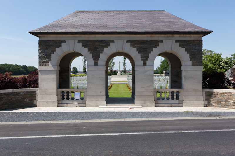
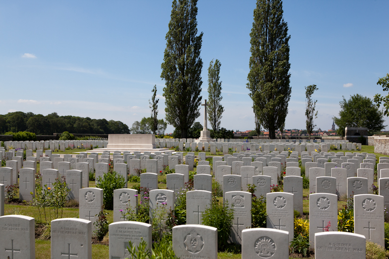
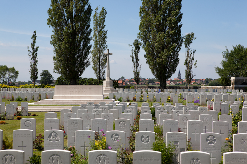
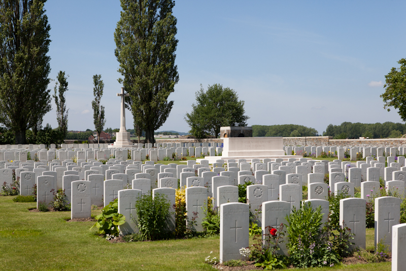
The "Oosttaverne Line" was a German work running northward from the river Lys to the Comines Canal, passing just east of Oosttaverne. It was captured on 7 June 1917, the first day of the Battle of Messines, the village and the wood being taken by the 19th (Western) and 11th Divisions. Two cemeteries, No 1 and No 2, were then made by the IX Corps Burial Officer on the present site and used until September 1917. They are contained in Plot I, II, and III of the present cemetery, which was completed after the Armistice when graves were brought in from the surrounding battlefields (including many from Hill 60) and from German cemeteries in the area. During the Second World War, the British Expeditionary Force was involved in the later stages of the defence of Belgium following the German invasion in May 1940, and suffered many casualties in covering the withdrawal to Dunkirk. The cemetery contains 1,119 First World War burials, 783 of which are unidentified. Scattered among these graves are 117 from the Second World War, five of them unidentified. The cemetery was designed by Sir Edwin Lutyens.
Add new comment